Services Available
There are many services available to meet your project needs.
Services available include (but are not limited to):
-
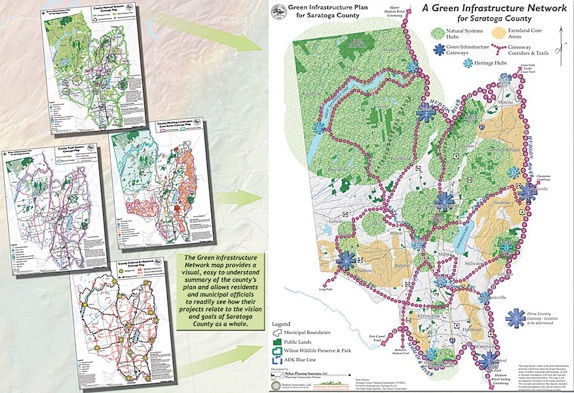
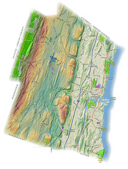
• Cartography - including inventory and vision mapping
-
• Spatial Analysis
-
• Viewshed Analysis
-
• Zoning and Build-out Analysis
-
• Inventory and Historical Review
-
• Farmland Protection Planning
-
• Environmental Review
-
• Photo Simulations
-
• Graphic Design
-
• And many other planning support services
Rick utilizes many different software programs, often in combination, to achieve your project goals - these include ESRI’s ArcGIS Desktop, Spatial Analyst and 3D Analyst, CommunityViz®, Google SketchUp, Adobe Design Suite (InDesign, Photoshop, etc.), and Microsoft Office Suite.